New “200 Street 2040” Corridor Plan Coming to Township of Langley
May 2, 2023By Mike Harrison
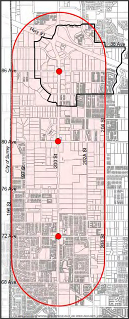
In December, the Township of Langley (TOL) council directed staff to draft an outline of the process, scope, timeline and funding requirements needed for a new planning policy document to guide future development along the 200 Street corridor through the Willoughby neighbourhood. At the April 3rd Council meeting the Terms of Reference document was presented but ultimately referred back to staff for further review. At the April 17th Council meeting the revised Terms of Reference document was re-presented and endorsed. The most prominent amendment was the expansion of the plan area from 400m east and west of 200 Street to 800m in either direction.

The new plan, dubbed 200 Street 2040, will stretch the length of Willoughby from 68 Avenue in the south to 88 Avenue in the north and span 800 metres east and west on either side of 200 Street (see adjacent map). Currently, development along 200 Street is guided by five separate Neighbourhood Concept Plans, some of which are quite dated and none of which have been updated since Metro Vancouver’s “Metro 2050” plan identified 200 Street as a Major Transit Growth Corridor. It is also expected that the 200 Street 2040 plan will guide future amendments to the Carvolth, Latimer and Jericho neighbourhoods as they comprise the majority of the undeveloped land along the corridor.
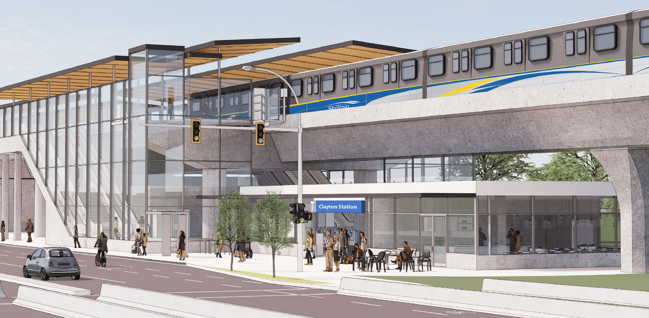
The future of the corridor includes consideration for both Bus-Rapid Transit (BRT) and Light Rapid Transit (LRT) running from Langley City in the south to the Carvolth transit exchange at Highway 1 in the north, with major transit notes anticipated at 72nd Avenue, 80th Avenue and 86th Avenue. The 200 Street 2040 plan will guide the increased densities and taller buildings required to support the future rapid transit which will eventually be connected to the Surrey-Langley Skytrain upon its completion in 2028.
The 200 Street 2040 plan is described to include, among other things:
- A land use and development policy ‘overlay’ for the corridor
- Provisions for bonus density, particularly for increased density around future transit stops
- A corridor-specific community amenity contribution policy, and
- An urban design vision for the corridor
What’s Next?
Mayor and Council are expecting the 200 Street 2040 plan to be complete by the end of 2023 or Q1 2024. By most standards this is certainly ambitious but entirely consistent with Mayor Woodward’s record of fast-paced policy change.
For more information on the residential development land market in the Fraser Valley or to sign up for my monthly newsletter, please contact:
.png/9214f10c-2d6f-893a-588c-a32504fc371b?t=1181842726)
Fraser Valley residential land market update
A breakdown of monthly residential real estate data and commentary on the residential development land market in the Fraser Valley
Read more
Additional Fraser Valley residential development land articles
Data sourced from Fraser Valley Real Estate Board


.png/a76268bc-6fd9-64be-22c8-39da2586d09f?t=1709745224373)